Tsukuba-san Day Hike (18Feb2017)
Hiking
The 9th Tsukuba-san hike with my daughter was planned as a kind of training for walking along the mountain path. Did we achieve my aim?
Ropeway
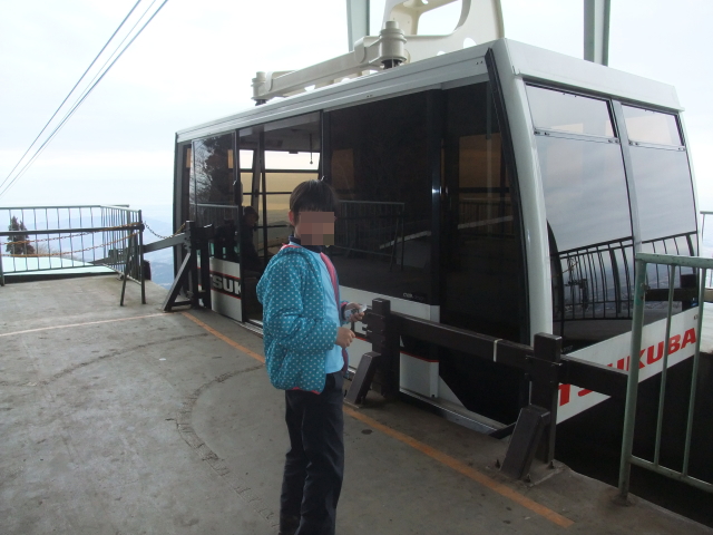
“Mam told me that I rode a ropeway when I was were 2 years old, but I don’t remember it. Do you have photos, daddy? I wanna see them.”
I showed her some pictures. Then, she said.
“I wanna ride the ropeway again. I wander how the ropeway rides.”
Take the ropeway for going down? “Yes, it is a training when comparing it with canceling the plan.” I thought…
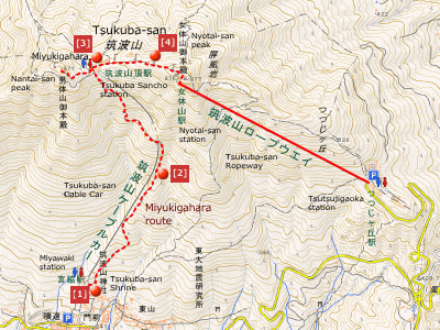
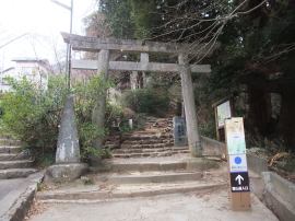
This time, we parked a car at a city-run parking lot in front of a huge torii. It is close to a bus stop.
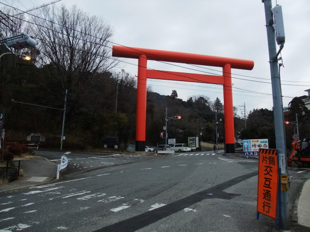
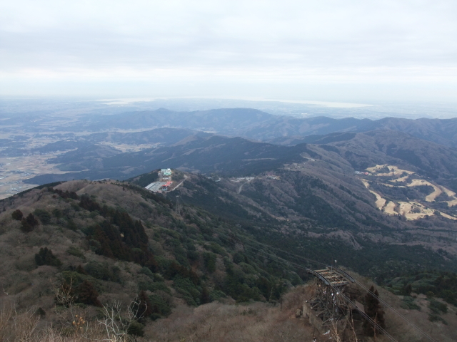
It is said that torii represents a dividing line between sacred and secular areas, serving as an entrance to the sacred world in Shinto shrines and other holy places. Tsukuba-san is a sacred mountain even in our day and there are main shrines on both Nantai-san peak and Nyotai-san peak. (Tsukuba-san has twin peaks.)
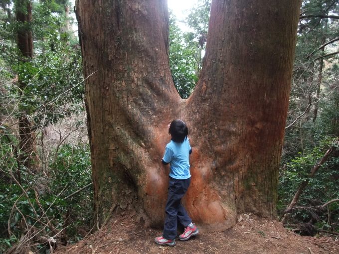
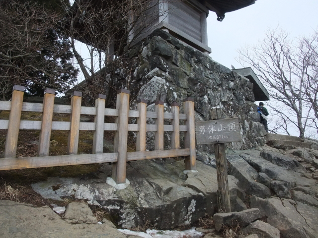
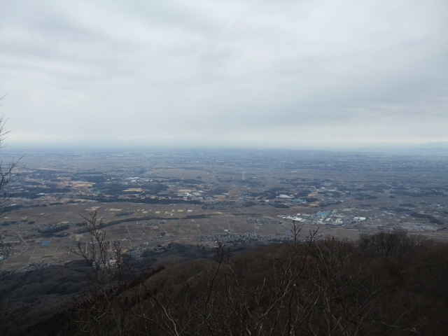
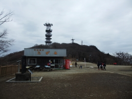
We usually don’t heading to the peak of Tsukuba-san, but this time, my daughter and myself decided to step the peaks. My daughter asked me that she wanted to see the view from the peaks for the first time in a while.
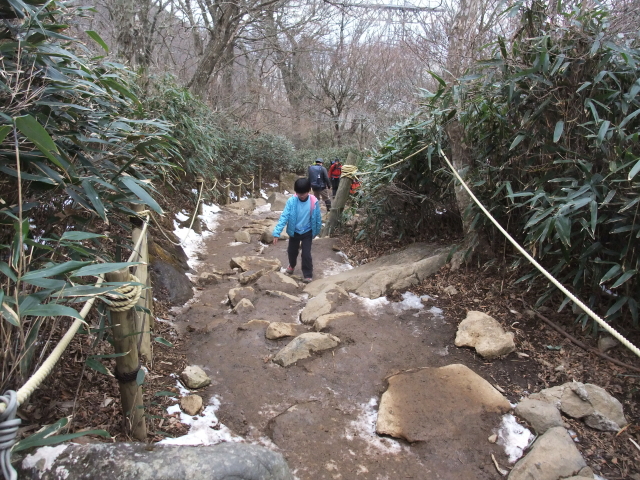
We then headed to Nyotai-san.
“Why don’t we walk down the trail to Tsutsujigaoka?”, I asked my daughter if she changed her mind.
“No! I’m totally looking forward to ride the ropeway.”
I still wonder if this hike can be regard as a training.
Route & Time
Hike date: February 18, 2017
Members: Family (farther and 9-year-old daughter)
Course time:
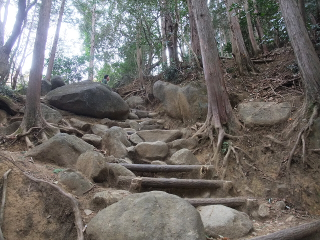
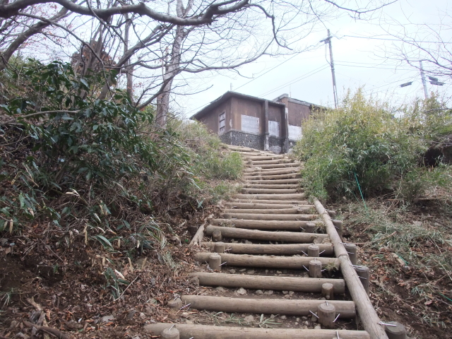
9:01 trailhead of Miyukigahara route – 9:31 the midpoint – 10:16 Miyukigahara 10:25 – 10:36 Nantai-san peak – 10:46 Miyukigahara – 11:02 Nyotai-san peak 11:05 – 11:09 Nyotai-san Station [2 hours and 08 minutes]
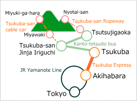
Access using public transportation
Links
Tsukuba Express
Kanto-tetsudo Bus
Tsukuba-san Cable Car & Ropeway
Valuable information
Discount coupon comes with Tsukuba Express train ticket and Tsukuba shuttle bus ticket (and cable car/ropeway tickets) is available at Tsukuba Express stations.
Area Information
Hot bath after hiking
![]()
Tsukubasan Edo-ya
1,000 yen/adult
TEL: 029-866-0321
5-min walk from bus stop
Sights
Tsukuba Space Center
free charge
TEL: 029-868-2023
reservation required for guide tour