Mt. Akadake

Name in Japanese: Akadake (赤岳)
Location: Nagano, Yamanashi
Elevation: 2,899 m
The primary peak of Alps-like appearance mountains
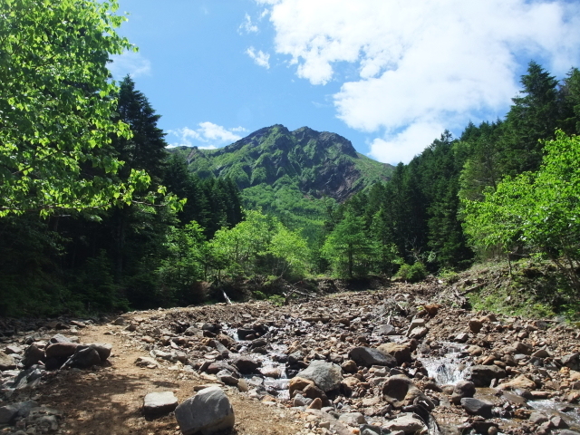
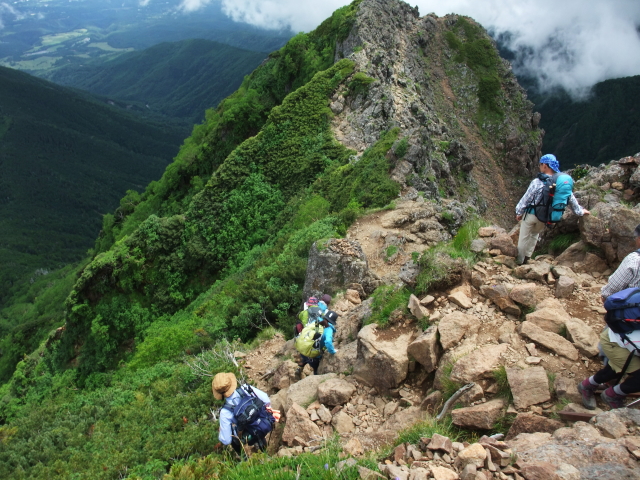
Mt. Akadake is the primary peak of Yatsugatake Mountains and located at the southern end. Yatsugatake Mountains is a massif measured 15 km from east to west and 30 km from north to south. The mountain scenery in the sounthern part is reminiscent of Alps while the northern part is a calm spaces with a primeval forest of Abies veitchii and lakes, like Northern Europe.
Hiking

There are several routes to Mt. Akadake. The route shown here is popular for hikers.
- Minoto-guchi route: 8 hours 35 minutes (20.3 km)
Sample route
Route: Minoto-guchi route
Distance: 20.3 km
Distance in elevation: 1,400 m
Difficulty during the best season: advance level
Season for hikers: early June to October
Route and estimated course time:
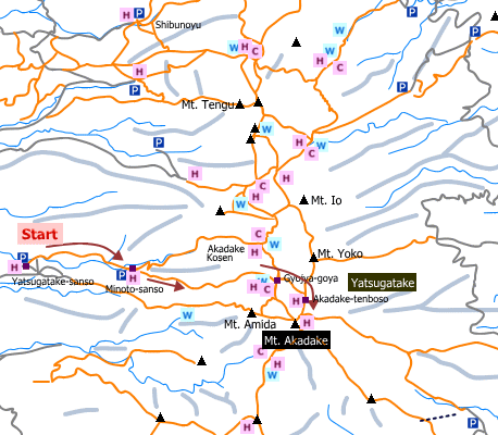
Yatsugatake-sanso -[1:00]- Minoto-sanso -[2:10]- Gyojya-goya -[via jizo ridge, 1:10]- Akadake-tenbouso -[0:30]- Mt. Akadake -[via Bunzaburo trail, 1:30]- Gyojya-goya -[1:30]- Minoto-sanso -[0:45]- Yatsugatake-sanso [8 hours 35 minutes]
Description:
It is an “approach” route to Gyojya-goya. The trail until Gtojya-goya is not tough but rather steep approach among trees. Many hikers encounter Japanese serow on the way to Gyojya-goya. From Gtojya-goya, as it is a steep rock ridge, there are steps, chain and ladders. Caution is required for inexperienced hikers. Akadake-tenbouso, a mountain hut on the mountain ridge, is a good rest stop on windy days. It takes about 30-40 minutes to the peak. Landscape for 360 degrees can be enjoyed on the mountaintop.
Route map


Hiking report
It is not available yet.
Directions
Public transportation
- Yatsugatake-sanso: Chino station -(bus)- Minoto-guchi
Area information
Hot bath after hiking
Yatsugatake-sanso ( 八ケ岳山荘)
Fee: 500 yen/adult
Bathing time: TBC
Telephone: 0266-74-2728


