Mt. Yake

Name in Japanese: Yake-dake (焼岳)
Location: Nagano, Gifu
Elevation: 2,455 m
The sole live volcano in North Apls
Mt. Yake, located in a gateway to Kamikochi, is the only live volcano in North Apls and hiking was prohibited by 1990. Its reddish brown, rough shape seen from Kappabashi bridge is impressive. It is a popular mountain as one of the closest mountain from a famed tourist spot, Kamikochi. Hiking to Mt. Yake, however, requires physical strength and discreet as the route is steep.
Hiking

There are several routes to Mt. Yake. Two routes shown here are examples.
- From Kamikochi: 6 hours 50 minutes (10.5 km)
- Shin-Nakanoyu route: 5 hours 20 minutes (5.8 km)
Sample route
Route: From Shin-Hotaka Onsen
Distance: 10.5 km
Distance in elevation: 934 m
Difficulty during the best season: intermediate level
Season for hikers: late June to October
Route and estimated course time:
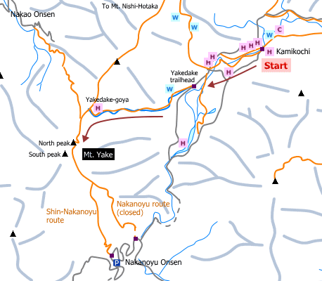
Kamikochi -[0:20]- Yakedake trailhead -[2:30]- Yakedake-goya -[1:10]- Mt. Yake (north peak) -[0:40]- Yakedake-goya -[1:50]- Yakedake trailhead -[0:20]- Kamikochi [6 hours 50 minutes]
Description:
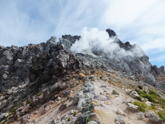
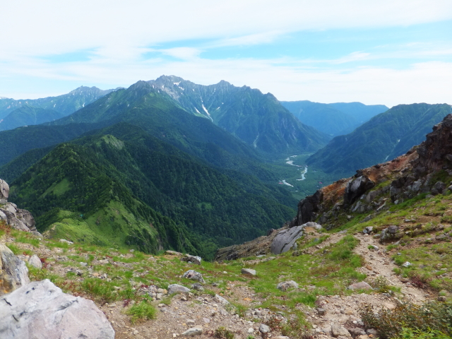
This is the shortest route to the peak of Mt. Yake. The first half of the route is among a coniferous forest. Then, it becomes a scree slope. The peak of Mt. Yake is soon after passing a lava dome that rising steam. Fine view of North Alps is expected from the peak.
Route map


Hiking report
It is not available yet.
Directions
Public transportation
- From Kamikochi: Matsumoto station -(bus)- Shin-shimashima -(bus)- Kamikochi
- Shin-Nakanoyu route: Matsumoto station -(bus)- Shin-shimashima -(bus)- Nakanoyu Onsen
Area information
Hot bath after hiking
Nakanoyu Onsen (中の湯温泉)
Fee: 700 yen/adult
Bathing time: 12:00-17:00
Telephone: 0263-95-2407


