Iyogatake Day Hike (29Jan2017)
Hiking
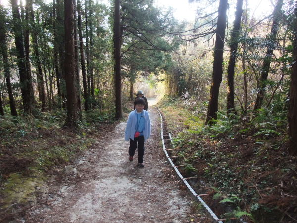
“This hike was so fun. I wanna try it again.” My daughter said so when she was 5 years old. However, she is not willing to hike Iyogatake again after the second hike. What happen to her?
It should have like an athletic fields and activities
“Do you remember this mountain? You wanted to come back here when you hike here for the first time.”
“I do not remember it but it sounds fun today.”
I decided the second hike to Iyogatake because I wanted her to enjoy hiking and also to see how she climb (and climb down) the steep rocky ridge. It should be useful information for me whether I can plan tougher hike in the near future…
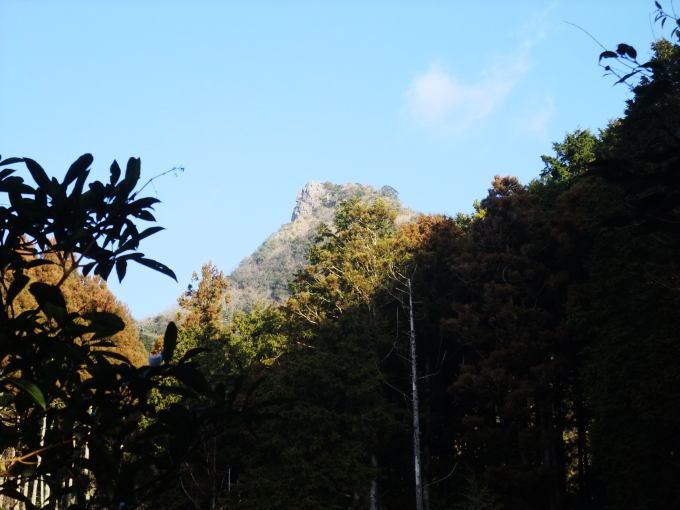
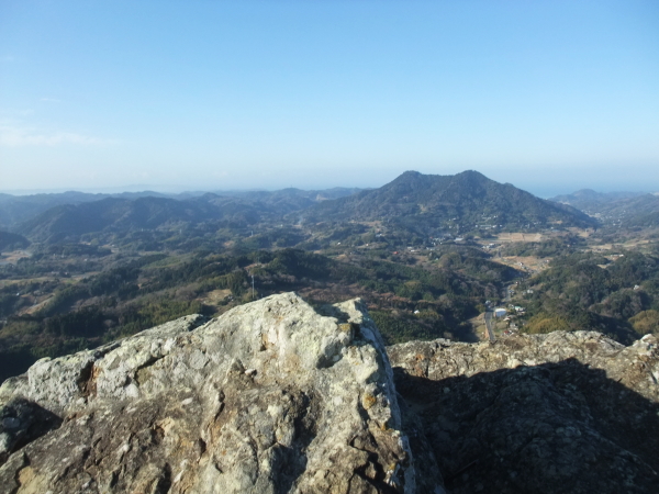
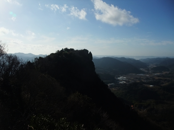
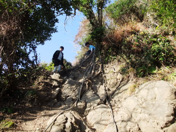
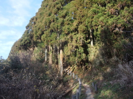
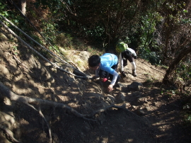
A steep rocky face appears just after passing an observation tower. The route to the peak of Iyogatake is short but this face attracts hikers who tend to require stimuli. This kind of rocky face on a normal route is not common in mountains in Chiba prefecture, I think. (I like to add that the rocky face is not difficult one.)
My daughter got ahead of me while I was taking photos at the tower. I was wondering if she waited me before climbing or tried to climb with her mother. I was wondering if she was attracted by the rocky face.
She was waiting for me. It was a time of my lecture how to climb rocky part of a trail. “Ok, let’s try. Have fun!”

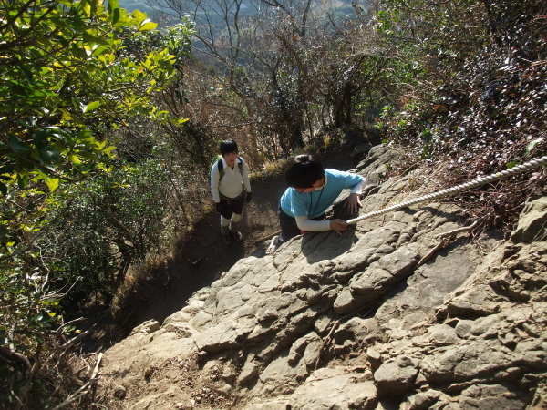
“This is so much fun, Dad!”
She looked happy. I felt happy, too, to see her enjoying the hike.
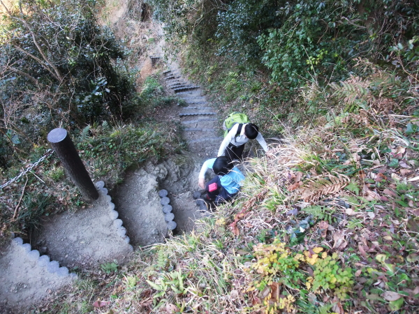
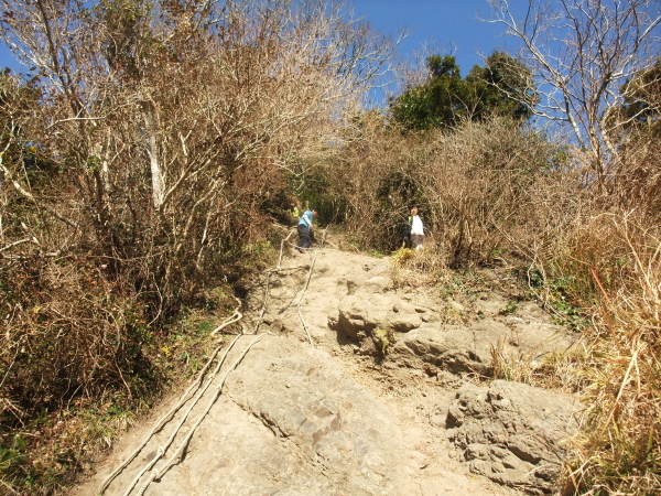
Now, it was time for the second show time!? We had to climb down the rocky face. I hoped she enjoyed it as she did when climbing up. She did enjoy it when she came here about 4 years ago.
She looked scared. Then, I felt happy as a farthe… for another meaning. She was not afraid of the rocky part last time. This time, she was scared. I mean, she learned fear. She grew a lot.
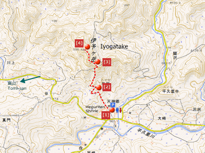
Route & Time
Hike date: January 29, 2017
Members: Family (farther, mother and 9-year-old daughter)
Course time:
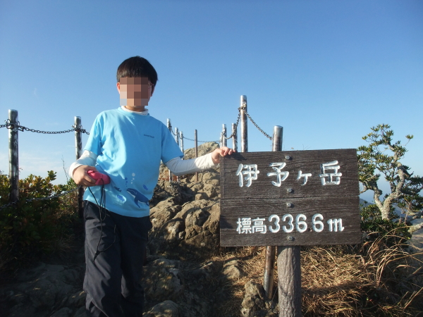
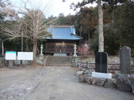
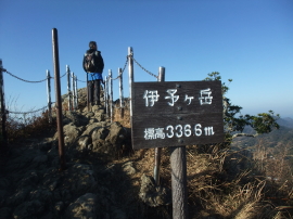
7:49 trailhead of Iyogatake – 8:14 observation tower – 8:27 South peak of Iyogatake 8:44 – 9:20 trailhead [1 hours and 31 minutes]
Access using public transportation
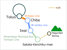
Area Information
Hot bath after hiking
![]()
Banya-no-yu
570 yen/adult
TEL: 0470-50-1126
15-min walk from Hota sta.
Seafood
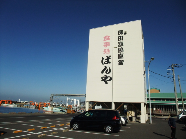
Banya
1,000-2,000 yen
TEL: 0470-55-4844
fresh seafood is worth eating


