Mt. Bandai
Location: Fukushima
Elevation: 1,819 m
1/25000 map: Bandai-san (磐梯山), Inawashiro (猪苗代)
Season for hikers: late May to October
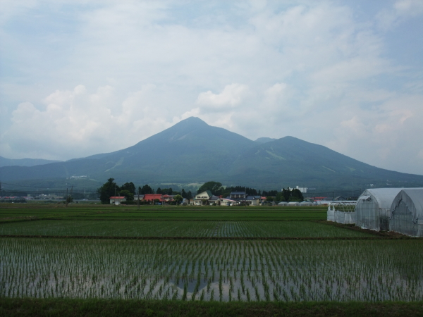
A symbol of Aizu is a neat cone-shaped mountain
Mt. Bandai is a composite volcano, and view from Lake Inawashiro is also known as Aizu-Fuji. The mountain has been famous for a poem selected in an ancient anthology of Japanese poems, Manyoshu, as well as ‘Mtreasure mountain’ that is lyrics in a folk song traditionally sung by the common people in Aizu. A group of 300 lakes and marshes, small and large, including Lake Hibara, Lake Onogawa and Goshikinuma Swamp was created by the great eruption in 1888.
There may be volcanic alerts in effect
Mt. Bandai is one of 50 active volcanoes covered by an “eruption alert” system that was started 04Aug2015. If you plan to hike Mt. Bandai, you should check the latest information on Volcanic Warnings (Japan Meteorological Agency).
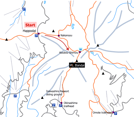
Sample hiking route
Distance (round trip): 7.1 km
Distance in elevation: 625 m
Difficulty during the best season: beginner level
Trailhead: Happodai
Route and estimated course time:
Happodai -(0:30)- Nakanoyu -(1:20)- Koubou Shimizu -(0:30)- Mt. Bandai -(0:20)- Koubou Shimizu -(0:50)- Nakanoyu -(0:25)- Happodai [3:55 in total]
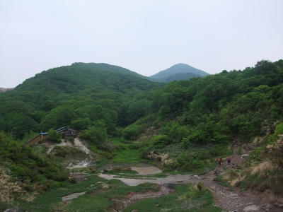
This is one of the shortest route to the peak of Mt. bandai. It takes less than 4 hours as standard time. As it is, additional hiking around Goshiki-numa is recommended to enjoy Mt. Bandai.
Sample hiking route map

Hiking report
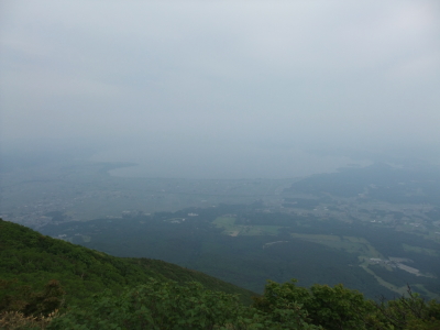
A hiking report of Mt. Bandai is available: Mt. Bandai hiking (14June2015)
Directions
Public transportation
Tokyo Station -[JR Tohoku Shinkansen]- Koriyama Station -[Banetsu-Saisen Line]- Inawashiro Station -[taxi]- Happodai
Flight information/Timetable:
Tokyo Station to Koriyama Station: Ekitan
Koriyama Station to Inawashiro Station: Ekitan
Taxi from Inawashiro Station to Happodai is 45-min ride.
Hot bath after hiking
Lavie Spa Urabandai (ラビスパ裏磐梯)
Fee: 500 yen/adult
Bathing time: 10:00-20:00
Telephone: 0241-33-2001


