Mt. Aso

Name in Japanese: Aso-san (阿蘇山)
Location: Kumamoto
Elevation: 1,592 m
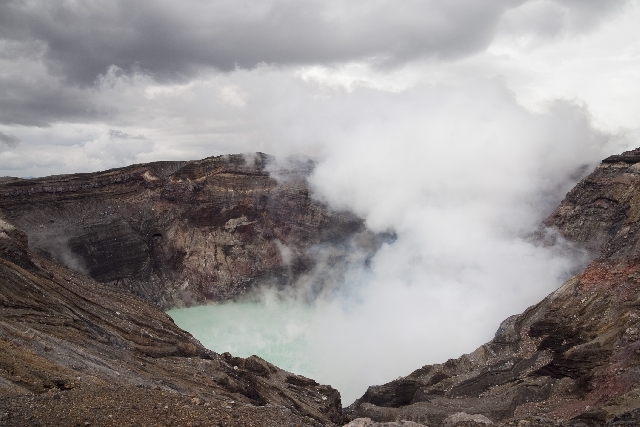
An active volcano having one of the world’s largest caldera
Mt. Aso is a general term of Mt. Taka, Mt. Neko, Mt. Naka, Mt. Eboshi and Mt. Kishima. The highest peak of Mt. Aso is Mt. Taka (Taka-dake). It is an active volcano with the world’s largest caldera. Mt. Aso means a mountain of burn/ a mountain of fire. It is also a tourism area since it is easy to access mountaintop area using a ropeway.
Hiking
- From Sensuikyo: 3 hours 20 minutes (3.6 km)
Sample route
Route: From Sensuikyo
Distance: 3.6 km
Distance in elevation: 692 m
Difficulty during the best season: beginner level
Season for hikers: March to November
Route and estimated course time:
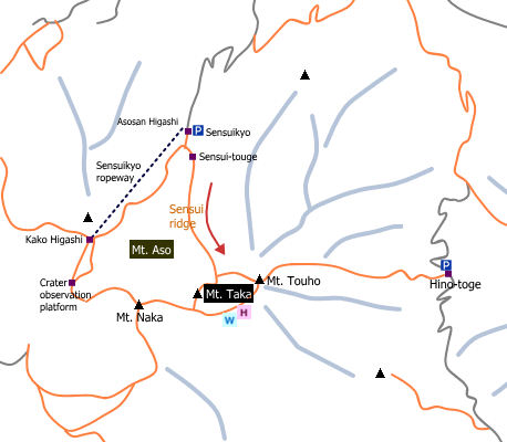
As of 04Jan2017, it is prohibited to enter near a crater; meaning a part of the trail on the map cannot hike. Please check the latest information before planning. For this reason, the sample route here is a roundtrip between Sensuikyo and Mt. Taka that is the highest peak of Mt. Aso.
Sensuikyo –[2:00]- Mt. Taka –[1:20]- sensuikyo [3 hours 20 minutes]
Description:
The first part of the route (until Sensui-touge) is a promenade. From there, the route is on a mountain ridge. It is a long upward slope until Mt. Taka. It is a gentle slope for the beginning. From the middle part of the trail, a long and steeper slope on the rocky face makes hikers tired.
Route map


Hiking report
It is not available yet.
Directions
Public transportation
- Sensuikyo: Miyaji station -(taxi)- Sensuikyo
Area information
To be Noted


