Mt. Fuji Hike (Day2-08Aug2013)
Hiking (Day 2)
Continued from Day1 of Mt. Fuji Hike.
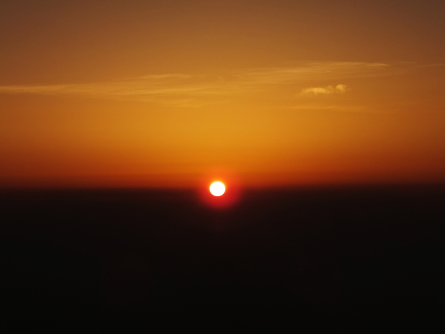
We stayed at a hut on the 8th station. My daughter looked tired yesterday so I went to sleep early but I do not know if she sleep deeply. It was a mountain hut at the 8th station of Mt. Fuji. Many hikers arrived at midnight and many left the hut in very early morning to see sunrise from the peak. It was a noisy night for me.
With flying feet
My daughter woke up early this morning.
“Do you wanna she sunrise?”
“Why not?”
I made her dress warmly quickly and went outside. There were many people outside the hut. It was cold even in August. We had to wait more than 10 minutes although we felt the cold very much.
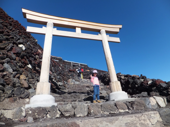
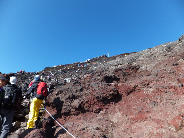
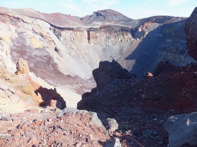
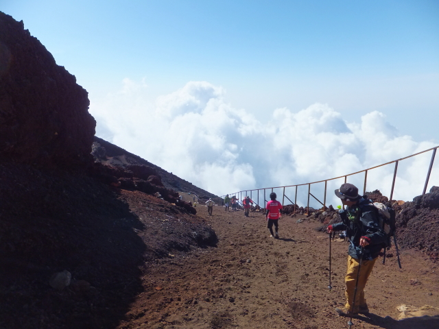
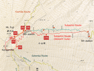
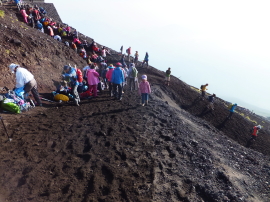
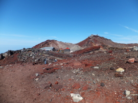
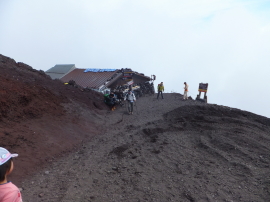
We left the hut before 6:00 in the morning. We saw many people walking toward the higher place. In less than two hours, we would arrive at Kusushi Shrine, the goal of Subashiri Route.
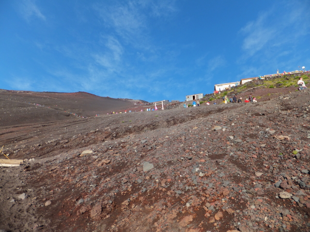

It seemed my daughter’s legs were leaden from fatigue. She walked with frequent stops to rest.
“Keep trying!”
“I know”
I thought she was walking very slowly and stopped frequently. Then, I noticed. I saw the same parties on the way to the peak such as; two Japanese young men carrying an oxygen gas can, a family of four from outside Japan. We passed each other repeatedly. I noticed my daughter walked hard.
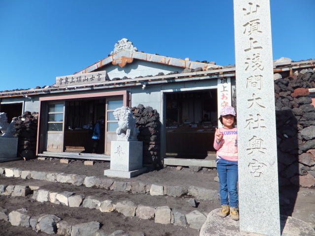
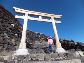
We finally arrived at the peak of Mt. Fuji. It took 100 minutes from the hut while estimated time according to guide book was 90 minutes.
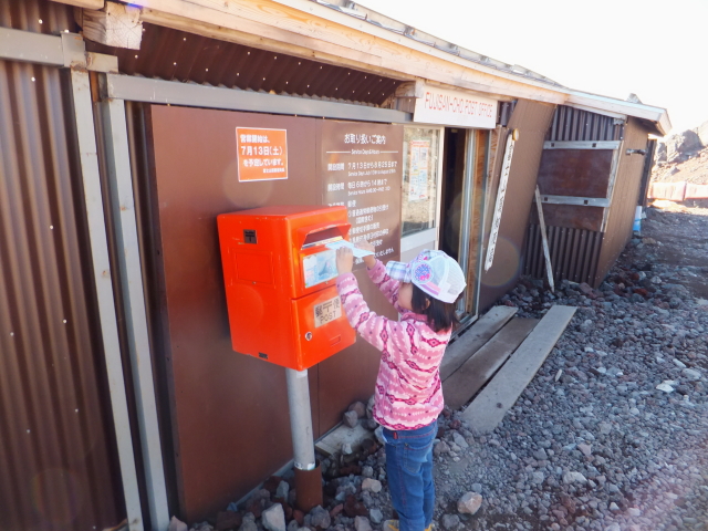
“Dad, where is the post office?”
There was a post office on the top of Mt. Fuji. It opened only in summer hiking season. My daughter brought post cards to grandparents and a kindergarten teacher.
“The post office is 20 minutes walk from here.”
“No way.”
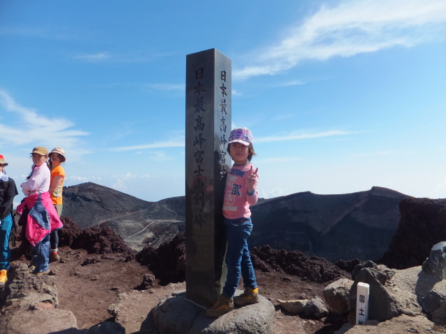
She did not want to walk anymore. I wandered if I could persuaded her to walk to Kengamine peak, the highest point of Mt. Fuji
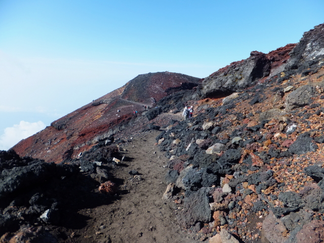
“Well, now you look all right for the time being by posting the cards. But, we will head to the highest point.”
“No! I’m tired of it. I don’t wanna go up any more!”
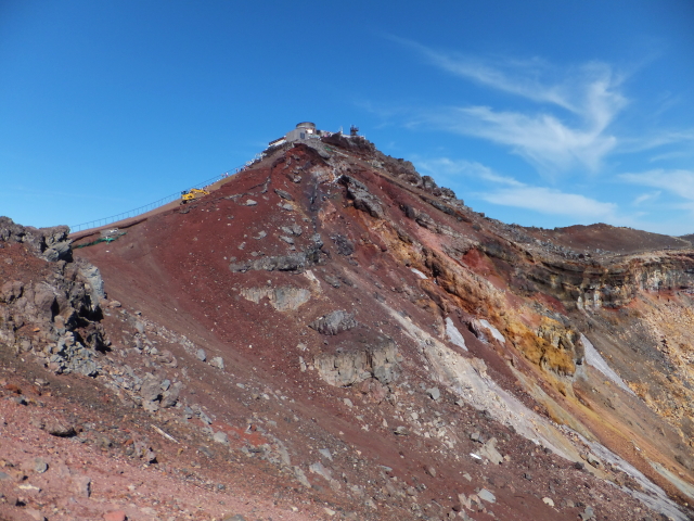
She was just too tired. I knew it. However, I also thought my daughter would regret strongly if we went down without stepping the highest point. I did not want to climb Mt. Fuji again just for the highest point.
I took a long break on the way to the starting point of descent route. I thought she got a sense of satisfaction.
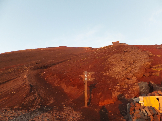
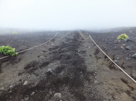
The descent route was called as ‘Sunabashiri’. Sands was like snow. Although many hikers looked feeling windy, my daughter and I went down With flying feet.
“It is so much fun, daddy.”
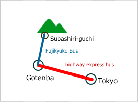
Thanks to her effort, we caught an earlier bus at Subashiri-guchi and had a time to take a bath in Gotenba before we got home.
Route & Time
Hike date: August 8, 2013
Members: Family (farther and 5-year-old daughter)
Course time:
5:53 mountain hut (Edoya) – 6:57 9th station – 7:33 Kusushi Shrine 7:45 – 8:08 post office – 8:40 kengamine – (long break) – 9:45 entrance of descent route – 11:52 subashuru-guchi [5 hours and 59 minutes]
Access using public transportation
Area Information
Hot bath after hiking
![]()
Ninjin-yu
400 yen/adult
TEL: 0550-83-7337
5 minutes walk
from JR Gotenba Station


