Hinata-yama Day Hike (03Jun2017)
Hiking
I originally planned to hike two mountains in a day, but changed it to hike one mountain plus pleasures. This kind of change may be unavoidable for hike with family…
Ice cream
“Next weekend, I want to plan Hinata-yama hike and Kayagatake hike. I mean, we hike Hinata-yama first, then moving to Kayagatake where is about 1 hour away from the first mountain.”
“It’s too hard.”
“Those are far form hour home. Just one hike is not efficient.”
“Oh really? But…, it’s too hard.”
“Well, how about a hike puls onsen and factory tours. At the ice cream factory, we can try ice cream. You may eat as much as you like.”
“Agree.”
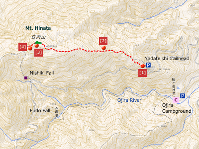
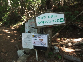
We arrived past six in the mourning at Yadateishi parking space. When we were about to start hike, my daughter said “There is a deer”. When you look up, a Japanese serow (designated as a special natural treasure) was eating leaves of trees. This was a beginning of our lucky day.
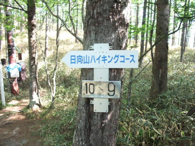
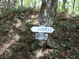
There were signs that shows, for example, ’10-5′ and ’10-9′. The sign show us the location where we were on the path.
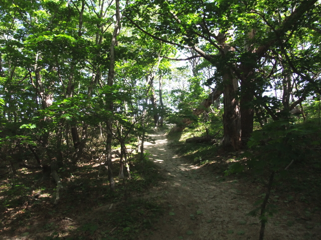
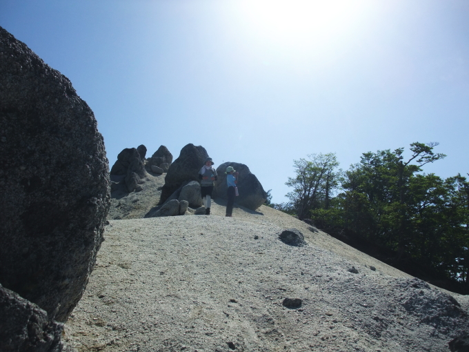
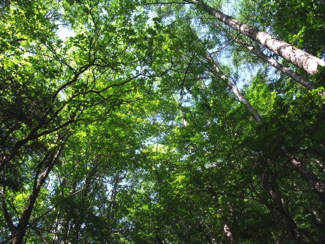
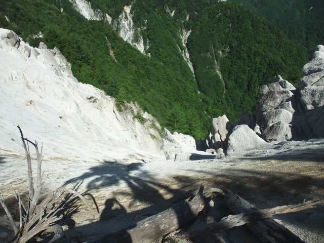
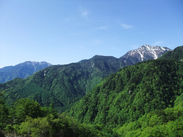
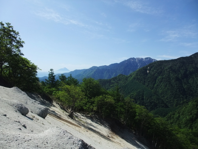
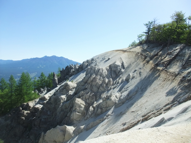
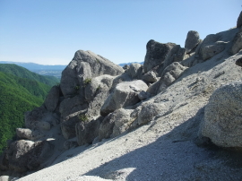
After passing through the trees among the sandy path, hikers can see a dramatic change in landscape. Hikers break out of the forest into the open. We can see great views of Yatsugatake Mountains and Kai-Komagatake.
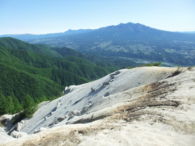
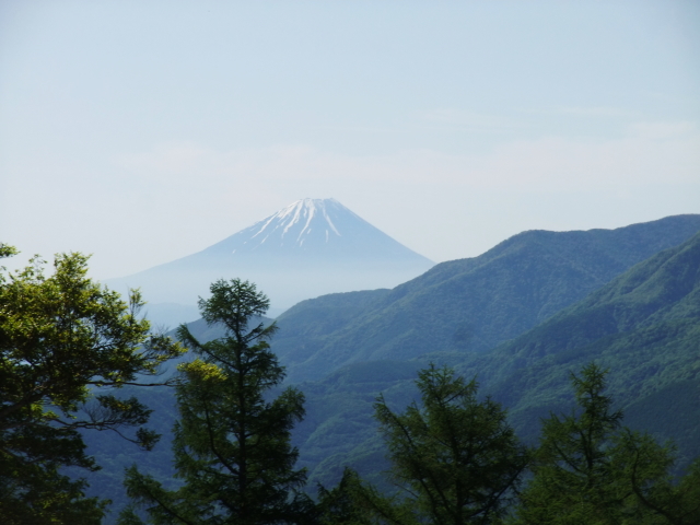
According to the source we checked before planning, we could see Mt. Fuji from mountaintop area. It was a sunny day. We could not go down the mountain without check and see Mt. Fuji, we thought. We decided to move to ‘Gangawara’.
NOTE: I do not recommend to traverse the mountain for less skilled hikers and people having uneasiness feeling. Difficulty is depends on the condition (e.g. weather) as well as mental and skills. There were mountain disasters in the past.
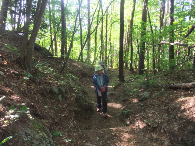
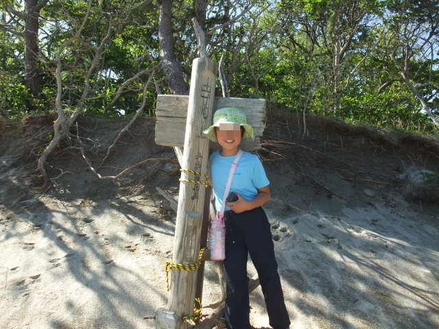
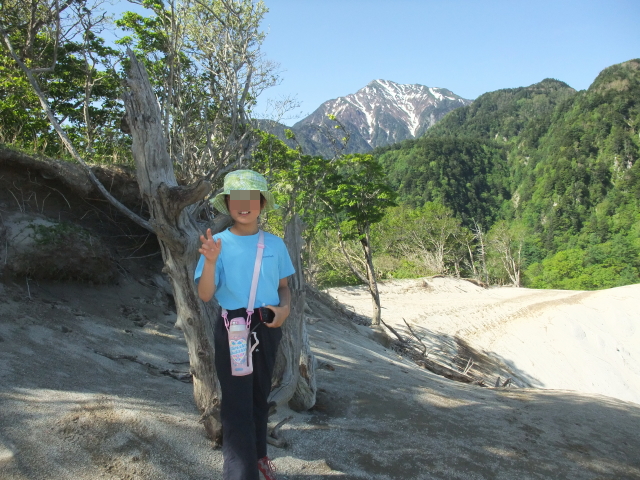
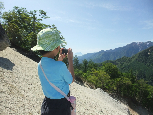
What about my daughter?
She enjoyed the great view and took lots of photos.
After the hike, we stopped by an onsen, then visited ice cream factory and mineral water factory, as planned.
After we came home, I asked my daughter “What was the best thing about doing today?”
She replied immediately “Ice cream”.
It was OK for me, as long as she hikes mountains with me…
In any case, it was a successful hike that we could see beautiful mountains such as Mt. Fuji, Mt. Kai-Komagatake and Yatsugatake Mountains. In addition, we enjoyed onsen, and ice cream at ice cream factory.
Route & Time
Hike date: June 3, 2017
Members: Family (farther, mother and 9-year-old daughter)
Course time:
6:26 trailhead (Yadateishi) – 7:57 Hinata-yama (and Gangawara) 8:38 – 9:26 Yadateishi [3 hours]
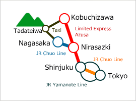
Access using public transportation
Area Information
Hot bath after hiking
![]()
Ojira-no-yu
820 yen/adult
TEL: 0551-35-2800
40 to 50 minutes walk
from Yatadeishi


